A Comparison of 3D Technologies
Stereo vision, time-of-flight, and LIDAR are all examples of technologies capable of producing 3-dimensional images. Each of the 3D technologies differ in how they produce those images, and each has areas with greater benefits for different applications.
Here, we take those 3D technologies and draw comparisons between them.

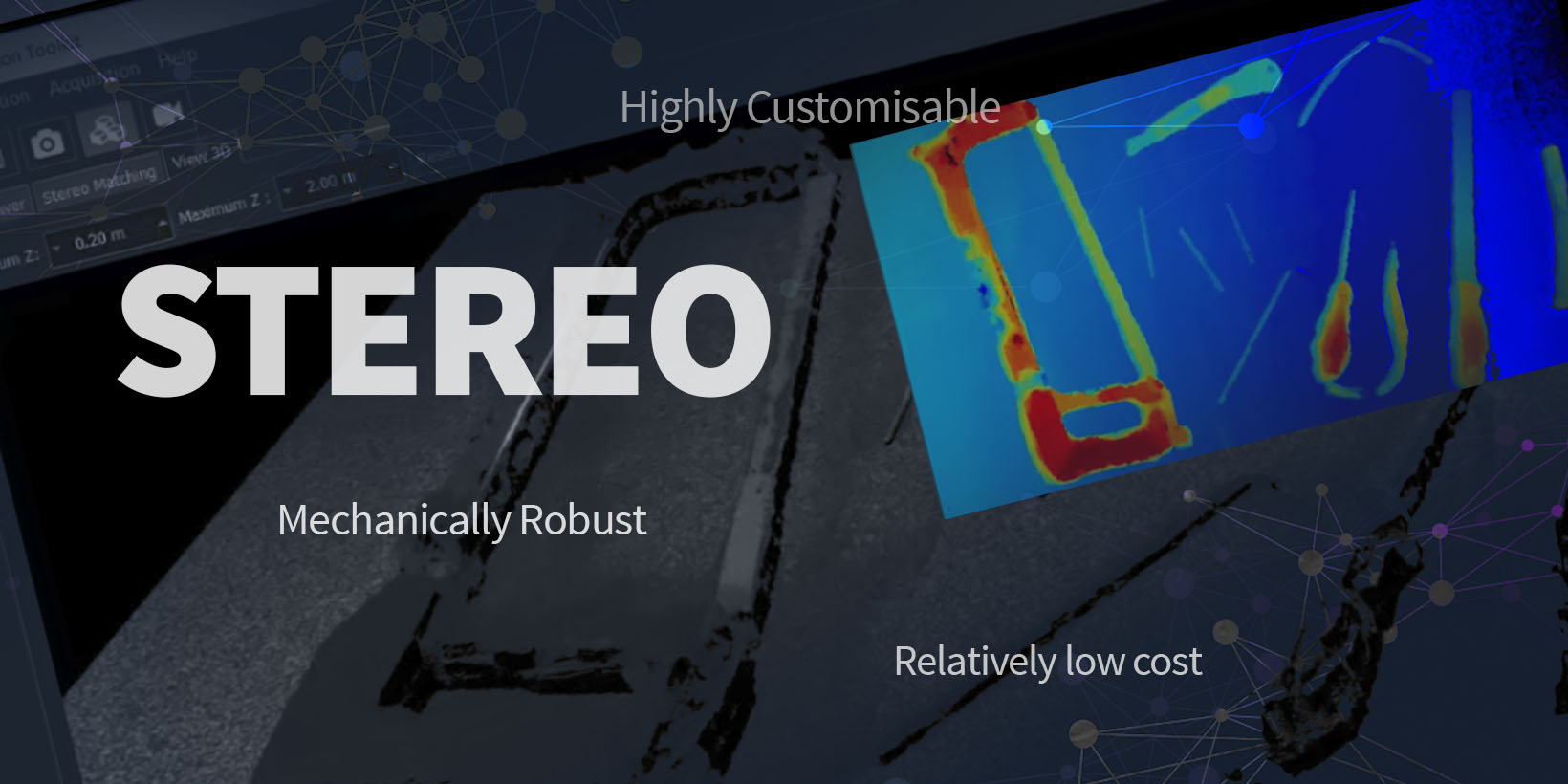
STEREO
Advantages
- Relatively low cost – ranging from a few £100s. Even industrial units cost less than an entry-level LIDAR scanner
- Highly customisable (lens choices, filters, baselines, ruggedisation, etc.)
- Obtain both 2D and 3D data. 2D information may be more beneficial for image analysis (e.g. defect detection) and machine learning.
- Can overlay image intensity/colour directly on 3D
- Output is a point cloud
- Highest resolution of any 3D imaging solution (megapixels)
- High data rates (stereo may be produced at 60fps for low-resolution images). Images may be acquired in a few ms.
- Suitable for imaging moving targets
- Power consumption is low (can be powered from USB alone)
- Mechanically robust – no moving parts
- Accuracy is excellent (sub-mm for Phobos)
- Works indoors and outdoors
- May use different algorithms depending on the scene/task
- Calibration is straightforward and may be done by the end-user
- Stereo camera systems, which make 1 million + measurements per observation, are inherently resistant to high temperature and humidity levels and can provide information regardless of ambient air temperatures. This makes stereo more practical and more deployable.
Disadvantages
- Reconstruction relies on there being lots of features in the scene
- Accuracy is quadratically dependent on the range (e.g. double distance, accuracy down by a factor of four)
- Passive sensing so may need illumination (especially if dark/ featureless surface)
- High-resolution algorithms will need high-performance GPUs.
- Potentially needs expert oversight to advise on the best setup for a particular scene (lots of parameters)

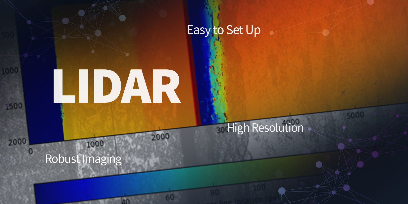
LIDAR
Advantages
- Easy to set up
- Very robust imaging – can reconstruct virtually any opaque surface
- Output is a point cloud
- Good accuracy over full measurement range (mm to cm)
- Can measure up to hundreds of metres
- High resolution – scans can be arbitrarily dense at the expense of scanning time; pretty fast – 1M point per second typical now
- Works indoors and outdoors
- Calibration usually not required by the user
Disadvantages
- Intensity information (colour) must be overlaid using a separate, calibrated camera
- System must be scanned
- Somewhat mechanically robust but contains precision moving parts (not good for many industrial environments
- Not suitable for extended use in harsh environments (though many systems are weatherproof/IP rated for outdoor use)
- Not suitable for moving targets
- Scans tend to be sparse, or can spend more time to ‘fill in the gaps’
- Expensive, systems start at £20k
- Needs a lot of power
- Heavy and bulky (although newer automotive LIDAR will change this)
- Is susceptible to ‘heat haze’ when the air temperature exceeds 23 C, especially if humidity is high, causing the air to become turbulent. In extreme cases, the heat can make laser light scintillate, destroying data.

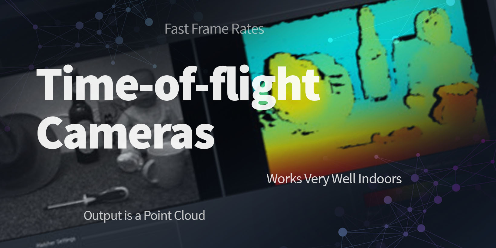
Time-of-flight Cameras
e.g. Kinect v2 (“Kinect for Xbox One”), SwissRanger
Advantages
- Can be very low cost (< £100) but comparable to stereo systems for industrial units
- Reasonably high resolution (1MP)
- Fast frame rates (30 fps)
- Images an area, just like a camera
- Works very well indoors – fine on featureless objects
- Output is a point cloud
Disadvantages
- Calibration performed by the manufacturer
- Illumination is power-hungry so units require wall power
- Quite heavy, mostly due to cooling/heatsinks
- Doesn’t work outside because of NIR illumination
- Only usable to around 10 m
- Requires NIR reflective surfaces
- Can get inaccurate ranges depending on object colour, system temperature, etc. calibration of this is not trivial.


